Flood Modelling
Catchment-scale hydraulic modelling for transport corridors and area-wide schemes.
Learn moreWe deliver catchment-scale flood modelling, DMRB highways design, and SuDS strategies for transport corridors, utilities, and public realm schemes of every scale.
Infrastructure projects demand coordinated flood risk, drainage, and highways inputs across complex alignments. We deliver catchment-scale modelling, DMRB-compliant highways design, and SuDS strategies that satisfy multiple authorities.
We map flood, drainage, and highways constraints across the project corridor.
We align water, civils, and environmental inputs into one design package.
We liaise with the EA, LLFA, and highways authorities to secure approvals.
We provide technical supervision and resolve site issues during build.
Catchment-scale hydraulic modelling for transport corridors and area-wide schemes.
Learn moreDMRB-compliant access design with S278 and S38 adoption support.
Learn moreSuDS strategies for linear corridors and public realm infrastructure.
Learn more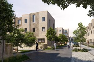
Aegaea delivered flood risk and drainage evidence for a 24MW Battery Energy Storage System in the Green Belt adjacent to Dams to Darnley Country Park, achieving unanimous planning approval.
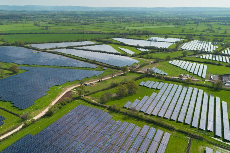
Detailed flood modelling for a Nationally Significant Infrastructure Project that secured Development Consent for a 475-hectare solar farm in North Yorkshire.
The water environment chapter of an Environmental Statement must address flood risk, surface water quality, groundwater, and water supply — here is what it requires and how it relates to a standalone FRA.
The SuDS hierarchy is fundamental to drainage design for planning applications. This guide explains each level, how to apply it, and common pitfalls to avoid.
If the Lead Local Flood Authority has objected to your drainage strategy, this guide explains the common reasons for objection and the steps to resolve it.